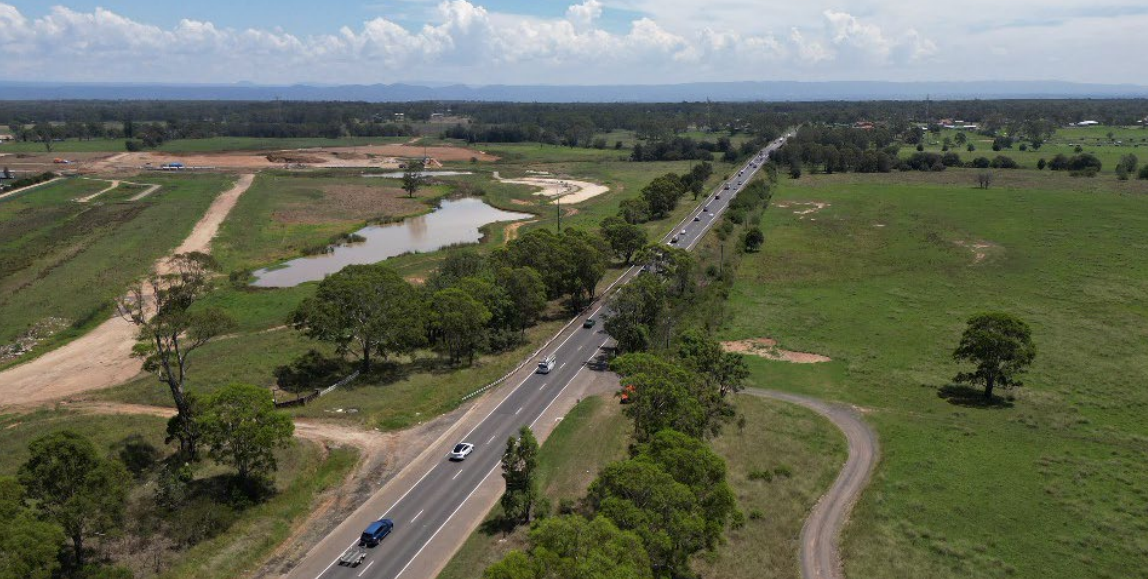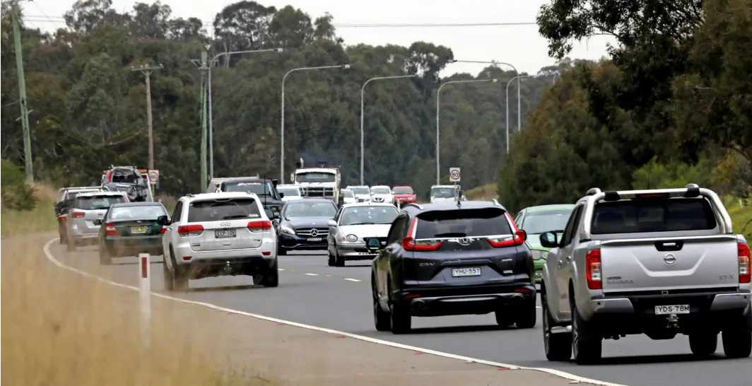
Emergency-service access, worsening congestion and dangerous intersections have emerged as the community’s leading concerns about the proposed upgrade of Richmond Road between the M7 Motorway and The Driftway.
Transport for NSW has released its consultation report after receiving 155 comments and submissions on the early design for the 13-kilometre corridor.
The proposed upgrade includes widening sections of Richmond Road, upgrading intersections, raising bridges and constructing new walking and cycling connections.
The strategic design was publicly exhibited between October 7 and November 4, 2025. Transport for NSW said the consultation reached more than 150,000 people, attracted 5,996 visits to the project webpage and generated about 250 conversations at four face-to-face information sessions.
A further 24 targeted stakeholder meetings were held.
Almost seven in 10 participants supported the proposed upgrade, particularly measures intended to improve safety and traffic flow.
However, the consultation revealed significant concerns about how the project would affect emergency vehicles, nearby residents, businesses and flood evacuation.
Traffic congestion was the most frequently raised issue, attracting 108 comments.
Residents reported increasing delays during peak periods and called for coordinated traffic lights, continuous lanes and sufficient capacity to accommodate continuing housing and employment growth across north-western Sydney.
Transport for NSW said traffic modelling had found that existing two-lane and inconsistent four-lane sections could not meet current or future demand.
The proposal includes widening Richmond Road to six lanes between Townson Road and St Marys Road and four lanes north of St Marys Road, with a wide median allowing for possible future expansion.
Emergency-service access was the second most frequently raised issue, receiving 69 comments.
Particular concern was expressed about access to the Hawkesbury Headquarters Rural Fire Service station, including its entry and exit arrangements, parking and the possible effect of congestion on response times.
Transport for NSW said the station frontage, access point and nearby intersection arrangements would be re-examined during the concept-design stage.
Possible measures include dedicated RFS parking bays, safer exit lanes and traffic-management arrangements supporting emergency responses.
Access to the Busways-owned field currently used for overflow parking would also be maintained through appropriate driveway treatments.
Transport said access to the station would be preserved during construction under a Construction Traffic Management Plan if the project proceeded to delivery.
The proposed divided carriageway would provide emergency vehicles with additional lanes, wider shoulders and, when operationally necessary, the ability to use opposing lanes.
Intersection safety attracted 41 comments, with residents reporting unsafe turning lanes, inadequate traffic islands, difficult roundabouts and dangerous heavy-vehicle movements.
New signalised intersections with dedicated turning lanes are proposed at several locations, including The Driftway, Llandilo Road and St Marys Road.
Transport said the signals would create controlled gaps in traffic and reduce risks associated with tailgating, merging and right-turn movements. The designs will be reviewed using updated traffic modelling.
Noise was raised in 33 comments.
Residents said heavy-vehicle noise was already affecting homes near Richmond Road and feared additional lanes and elevated sections would make the problem worse.
Detailed noise studies will form part of the Review of Environmental Factors. Possible mitigation measures could include noise barriers, low-noise road surfaces, landscaping, screening and treatments to eligible properties.
Transport said the final height of raised road sections had not yet been determined.
Flooding and drainage attracted 20 comments, with residents emphasising the importance of Richmond Road as an evacuation route.
Transport said it was working with the NSW State Emergency Service and NSW Reconstruction Authority on flood and evacuation modelling.
The proposed widening and raising of the South Creek crossing, together with the realignment of The Northern Road to meet George Street, is intended to improve evacuation options for South Windsor and Bligh Park residents.
Final evacuation routes, road levels and construction staging will be determined during the concept-design and environmental-assessment stages.
Residents also raised concerns about water collecting near Llandilo Road and Richmond Road, the height and flood performance of creek crossings, and whether the upgraded road could worsen flooding on neighbouring properties.
Other issues included traffic-signal timing, walking and cycling facilities, public transport, the construction timetable, privacy, property acquisition and impacts on wildlife and vegetation.
Participants called for wider and properly separated shared paths, safer crossings, better lighting and traffic signals capable of detecting cyclists.
Public-transport users sought dedicated bus lanes, priority signalling, improved shelters and better connections with the Sydney Metro network.
Transport for NSW disclosed that artificial intelligence was used to separate and group the issues raised into 12 themes and count their frequency. It said the results were checked and validated by the project team.
The Australian and NSW governments have committed $50 million to planning and future-proofing the corridor, but construction funding and a delivery timetable for the full 13-kilometre upgrade have not been announced.
Transport for NSW will now use the community feedback to prepare a concept design and Review of Environmental Factors.
The next stage will include further traffic, flooding, noise, environmental and property-impact investigations before the concept design is placed on public exhibition.
Further information is available at transport.nsw.gov.au/richmond-road-upgrade.